DRONE 3000
Autonomous surface drone
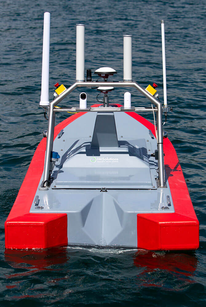
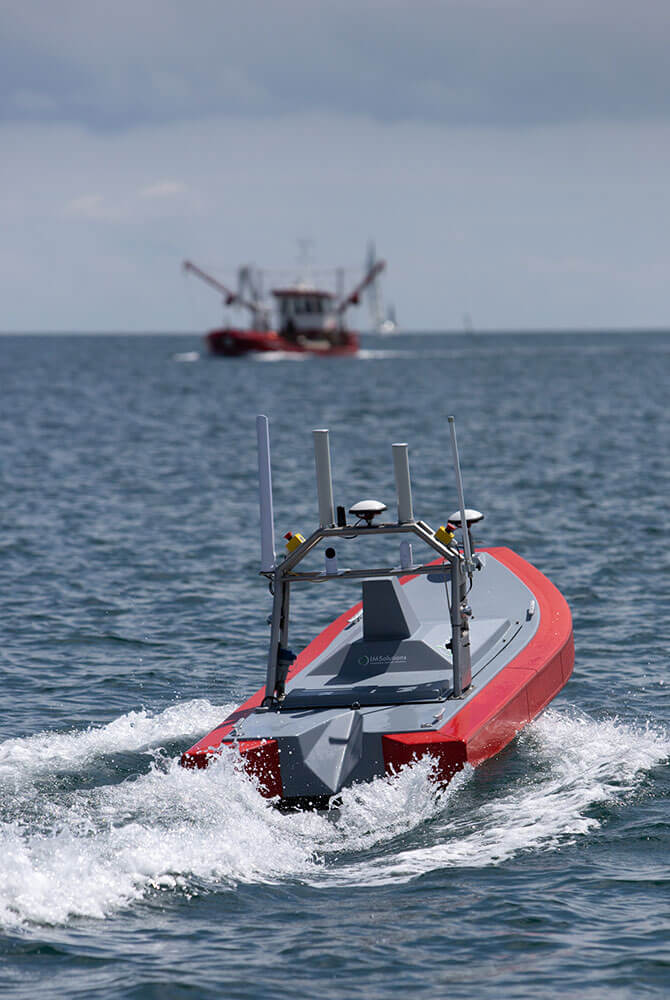
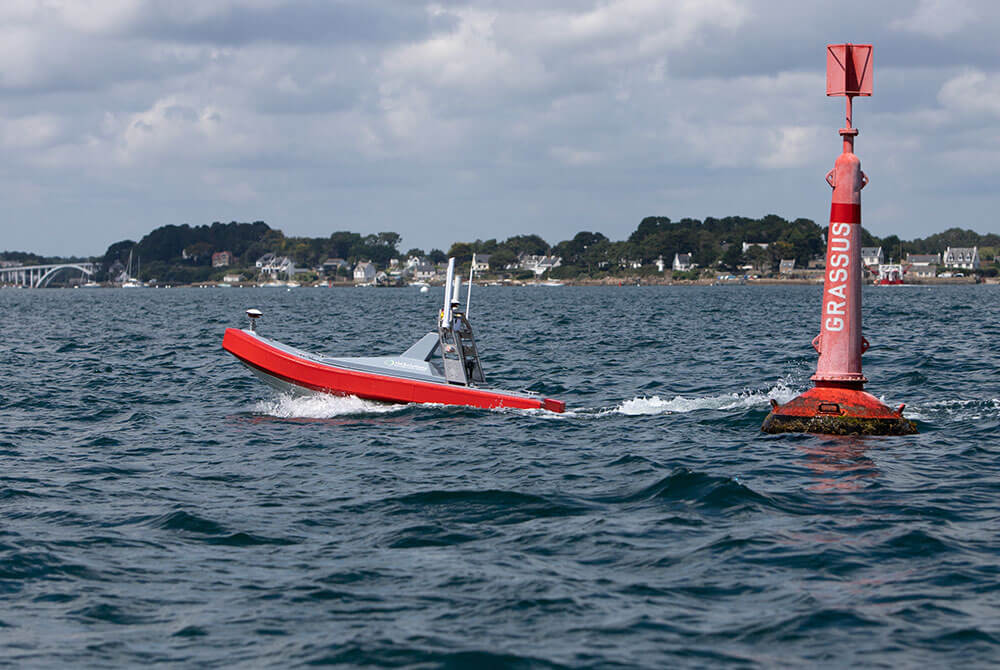
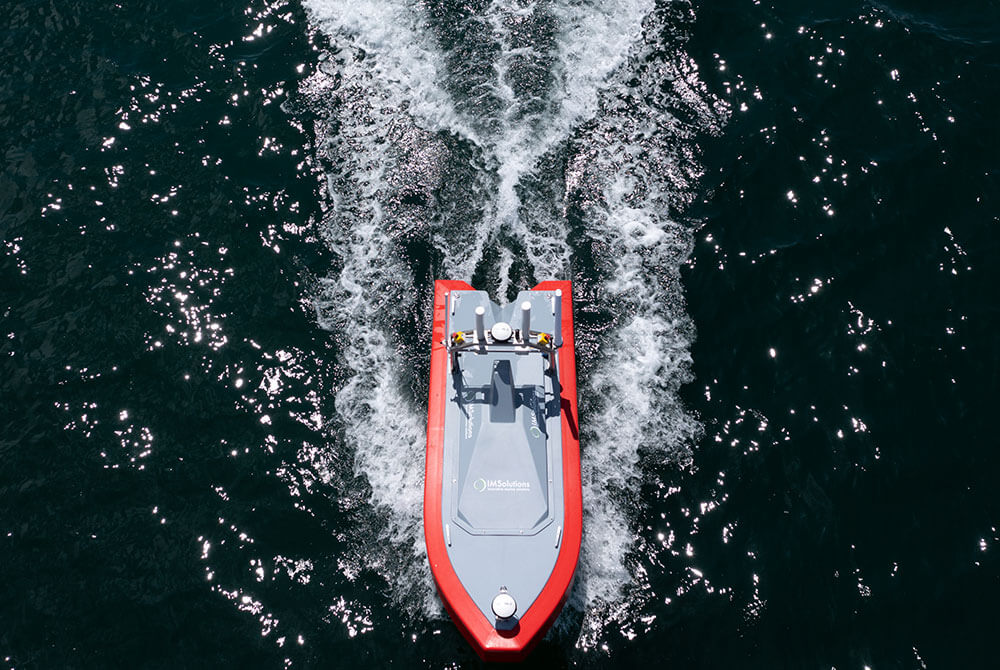
THE DRONE 3000 is a rugged, multi-mission, flexible, shallow water USV, design for complex coastal environments and harsh conditions.
It provides a 65 kg payload and a multi-sensor platform which is capable of integrating a number of survey sensors including a winch to collect data into the water column until 100 meters and telemetry/video links with deep learning capabilities.
The DRONE 3000 endurance is more than 8 hours @2m/s depending of the weather and sea state conditions. The drone is able to navigate in seastate 4.
An autonomous boat that can sail precisely in accordance with mission planning. A cutting edge technology which make the survey safe an affordable with a diversity of applications, all the while maintaining the highest standards of data quality.
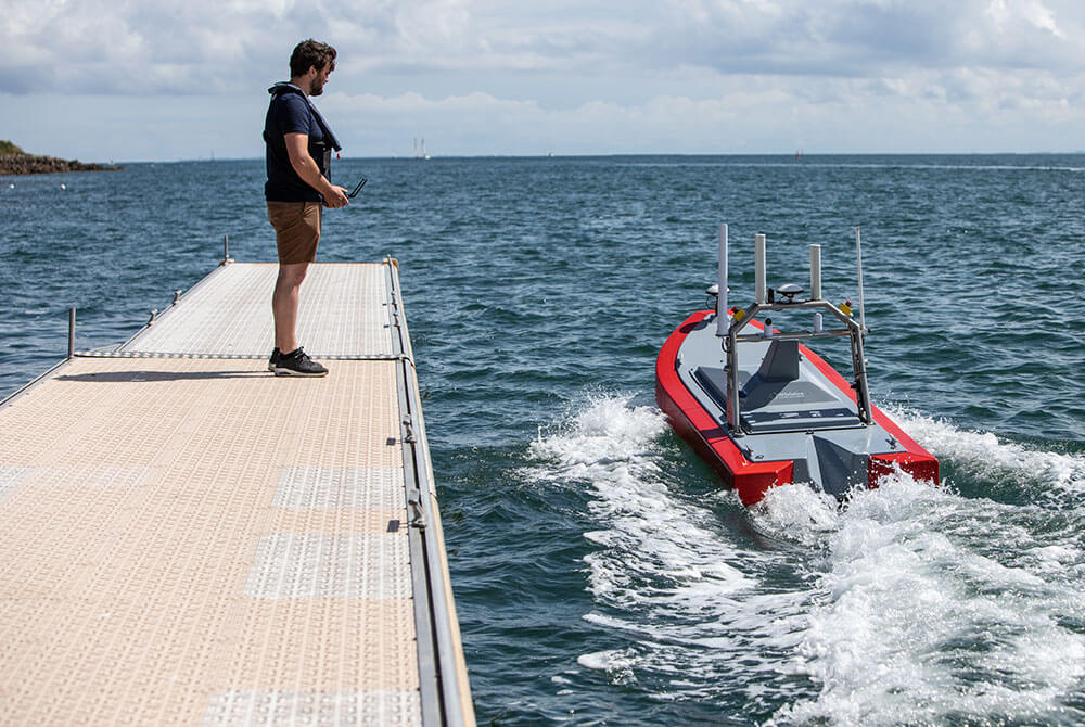
L’opérateur est connecté en temps réel au robot marin qui suit un plan de mission préprogrammé sur une carte interactive. Les caméras embarquées assurent la sécurité de la navigation.
Le DRONE 3000 est une technologie abordable, simple à déployer et qui met les opérateurs en sécurité
Technical Specifications / Drone 3000
Dimensions
- Length : 3m
- Width : 1,17m
- Air draft : 1,20m
- Draught : 0,65m
- Weight : 220kg
- Payload : 65kg
- Moonpool : 300x300mm
Performance
- Speed (max) : 7 m.s
- Speed (survey) : 2 m.s
- Propulsion : 2 x 4000W (16HP) électrique
Power system
- Battery : 2,5 kWh – Batterie lithium 48V (jusqu’à 10 kWh)
- Endurance : 8h à 1.5 m.s
- Charging time : 9h
- Kill switch
Communications
- RC radio : 2000m range , frequency 5 GHz
- Wi-Fi : 3000m long range high bandwidth modem 2,4 GHz
- Autopilot : Mission planning, automatic waypoint navigation, real-time feedback
- Telemetry : Radio 5 Ghz
- Telemetry option : Radio modem for long distance – LTE
IT options
- Survey computer : Rugged survey computer
- Navigation (FPV) in option : Live remote control
- Software : Compliant with all the market hydrographic solutions
Supervision options
- HD camera : Forward and backward looking cameras
- Targey detection : Target detection
- Lidar : Laser scanning (100m)
- AIS : AIS transponder option
Storage and transport options
- Launch and recovery system : Cage
Equipement de navigation
- GNSS : RTK receiver L1/L2, multi constellation
- Base station : Base GPS RTK
- IMU motionsensor : SBG® Apogee, SBG® Ekinox, Ixblue® Octans
- Modem : Modem 4G
Payload
- Sound velocity : AML ®SV-Xchange
- Multibeam : Norbit®, Konsberg®, R2 Sonic®, Teledyne®
- Singlebeam : Simrad®, EA40®, PA500®…
Winch option
- Winch system : 30m depth in the water column – option 100m, electrical wincg
Ad-on & sensor options
(on demand)
AIS, RTK G NSS, Deep learning – ROS – Embedded computer, 360°/4K/Thermal/IR camera,SBES, ADCP,
Picture gallery


